GPS Survey Abu Dhabi
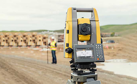
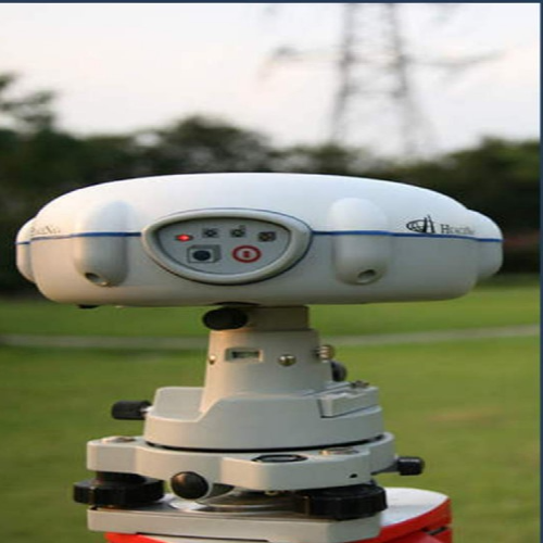
Global Positioning System is the sophisticated survey technology, it is an easy survey method while compared with Total Station where man can access. The GPS is able to receive signals from satellites and from its base same time. GPS is a highly accurate navigation system using signals from satellites to determine a location on the Earth’s surface, irrespective of weather conditions.
It is dependent on GPS satellites high above the Earth which transmit signals containing the time and location of the satellite. Any ground-based receiver which receives signals from four or more GPS satellites can use navigation equations to calculate its location on the Earth’s surface. Constant signaling can then update speed and direction information for moving receivers.

How is GPS works?
The Global Positioning System(GPS) is a satellite based positioning system operated and controlled by the US Department of Defense by using NAVSTAR satellites (SVs) in space. The US department of Defense Controls the system by using four ground based monitor stations, a master and three up loaded stations.
GPS Surveying Requires the simultaneous observation of the same four satellites by at least two GPS receivers.
The Base receiver is located over a known control point for the duration of the survey The rover receiver is moved to the points that are to be surveyed or stacked out. When the data from these two receivers is combined; the result is a three -dimensional vector between the base and rover.
There are Real-Time techniques & post proceed techniques are used to determine the position of the receiver relative to the base.


